Glen Avon Farm Hikes

Description
The following hikes are available to guests staying at Glen Avon Farm
Heritage Hike
This walk takes approximately 1 and a half hours to complete and is marked with red dots along the way.
This gentle meander takes you down to the river via the family cemetery. Look for the start of the Red dots to the left of the swimming pool at the little garden gate. As you go through the gate bear right and the left again, walking down the avenue of oak trees, with the Lucerne fields on your right. Only about 150m down this road, the cemetery comes into view. For those who are interested in having a look at the Vault which is a unique feature of our graveyard, please feel free to go into the graveyard and follow the little path which takes you down to the Hart Vault. Inscriptions on the vault indicate clearly which members of the Hart family are buried inside the vault. You may then continue, following the markers down to the river. This is an ideal spot to sit and enjoy the peace and quiet for a while. Crossing the river, the route takes you through pastures to another gate, which then leads into a camp consisting of riverine vegetation. This is a favourite area for bushbuck. Keep your eyes open for a very tall (the tallest in fact) pine tree in which Crowned Eagles have built a nest. They are often seen perching in this tree. One can choose here, either to follow the river or to walk along a path that is above the river bank. If you decide to follow the river, it is best to keep on the left side. On the right-hand side of the river, in an open patch, one can see a little brick building. This is the Meter House which dates back to the days when Glen Avon supplied water to the Railways, and the water was measured as it passed through big 5 and 6-inch pipes at this point.
Look for the red dots which will lead you across the river on the bridge carrying these pipes. Climbing over the fence at this point, the route will take you into a kikuyu pasture which is below the other main house, called ”The Old Homestead” and Hart Cottage. So even if you cannot see any markers, you are almost back where you started, with Pecan Cottage coming into view ahead on the left.
The Intake Hike
The path is marked with a yellow dot along the route.
This is a quiet, scenic route that winds its way up the Naude’s River Valley for 3km and ends at the “Intake”. The Intake is a junction in the river where a weir dams up the river and water is piped for pasture irrigation. A furrow that follows most of the route carries excess water into storage dams. Best in the early morning or late afternoon, this stroll takes about an hour and a half. Remember to take your binoculars as you are bound to see plenty of birds and buck.
It starts just behind Pecan Cottage where you will see the first yellow dot on the old shed. After crossing the log bridge, one turns left through a gate and walks through the kikuyu pasture, past the old cow shed and onto the main road. About 200m along the road, instead of heading down to the river, the route takes you left through a gate and along one of the farm roads. When you come to a closed gate, please be sure to close it again behind you. While walking, keep your eyes open for Rhebuck,Dduiker and Bushbuck which are plentiful in this area because the river and surrounding bush provide the protection they need. Birdlife is also abundant due to the variety of habitats. Avenues of giant Eucalyptus (gum trees)are all that remain from days gone by when all the surrounding land was cultivated and these trees served as windbreaks. The road ends under the huge canopy of an oak tree, next to the river. This is an ideal picnic spot so remembered to bring along a snack with you! Try to approach this area quietly as it is a favourite grazing spot of Bushbuck. Also keep an eye open for the shy Cinnamon and Tambourine Doves, striking Knysna Turacos (Lourie), Black Eagles and several Kingfisher species.
You can return along the same route or cross over the river and walk back through the camps making your own way home.
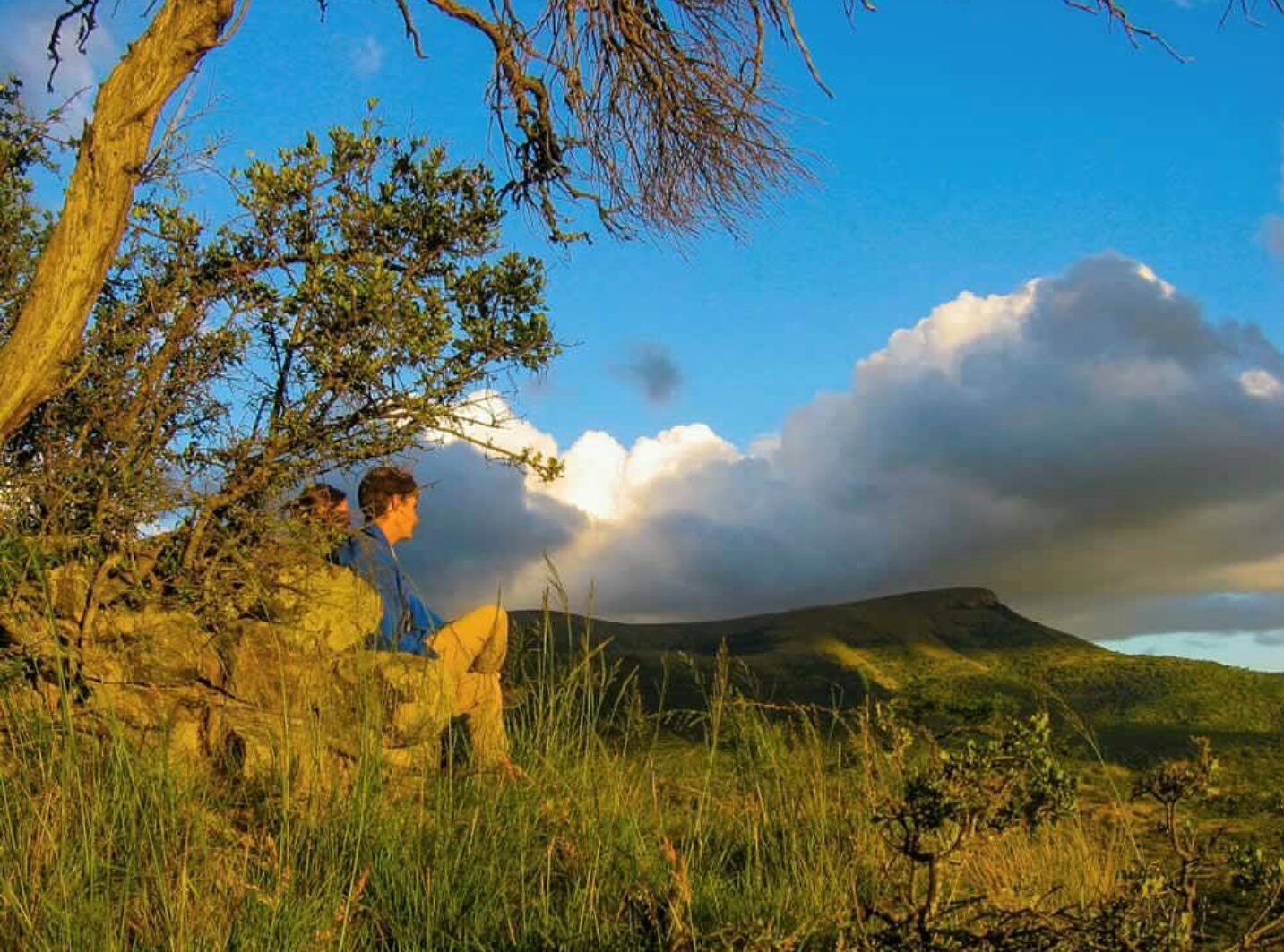
The Mountain Route Hike
This trail is marked with large white dots and starts behind the house at the gate near the shed. It takes approx 4 hours leisurely walk. Please take sufficient water with you as sometimes the streams run dry, especially in winter. binoculars and a camera are essential!
It takes you on the farm road past the dairy and stone kraal, crossing the district road and directly opposite, through a large gate, with a ‘PRIVATE’ sign on it, towards the shearing shed and Water Mill. Keeping the mill on your right and shed on your left, you follow the mountain road which gradually climbs, getting steeper as one gets higher up. After approx. 1km, the trail branches off to the left leaving the mountain road Following the markers you soon leave the drier thorn scrub and reach a more moist and lush area, where wild olives and white stinkwoods proliferate. After a short climb, you suddenly notice that again the vegetation has changed, to more open grassveld. This pattern repeats itself as the trail takes you into the indigenous forests and then out again onto the open grassy ridge of the mountain where you can enjoy beautiful views down the valley looking towards the dams, homesteads and with Avon Head on the opposite side of the valley. The Knysna Lourie makes itself heard with a raucous yet tantalizing call.
Baboons will also call out as they notice you in their territory! The rare Bush Black Cap has been seen on this route and numerous other species of birds including the Narina trogon. Eventually the trail winds down past a reservoir and Somerset East comes into view . Should you wish to find a vantage point, bear right a few paces on the rocky ridge. (A good breather spot!) Do not bear left towards the feed troughs. The trail takes you across the flattened top of ‘The Plaat’ which overlooks the town, the boundary fence with town commonage can be clearly observed on your right. The trail follows a farm track which at times especially in summer when the grass is long, is not always clear.
However it is difficult to ‘get lost’!
Make your way towards another small white reservoir and then bear left across open grassveld. Keep your eyes open for the white markers…they are there! Passing through 2 gates, one then starts descending and the trail is now clearer. Eventually the trail joins up with the old road to the town, and one must turn left. Following this road, for about 2-300m, it meets up with the district road directly opposite the ‘Glen Avon’ turnoff. Straight down our drive and you are back ‘home’!
Glen Avon Waterfall Hike
In addition to the three self-guided trails visitors can hike along the river, or the road, to the Glen Avon waterfall.
This waterfall, the scale of which is only appreciated from close up, has the reputation of being one of the highest drops of water on private land. A refreshing dip in the pool below the falls awaits you at your destination. Alternatively one can hike to the top of the mountain and down into the gorge above the falls.


Contact Info
- 072 653 1545
- brown@glenavonfarm.co.za
- https://www.glenavonfarm.co.za/
- Glen Avon Farm outside Somerset East